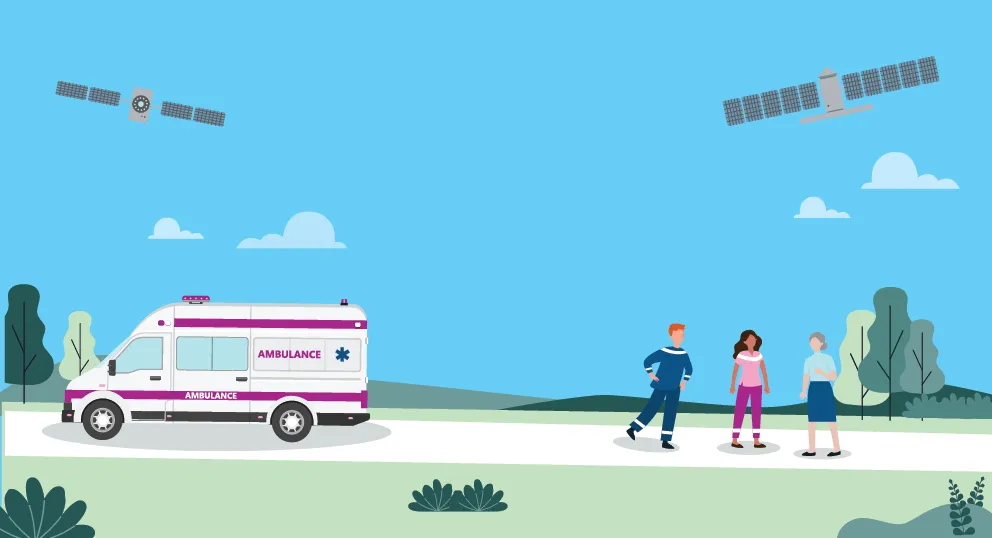
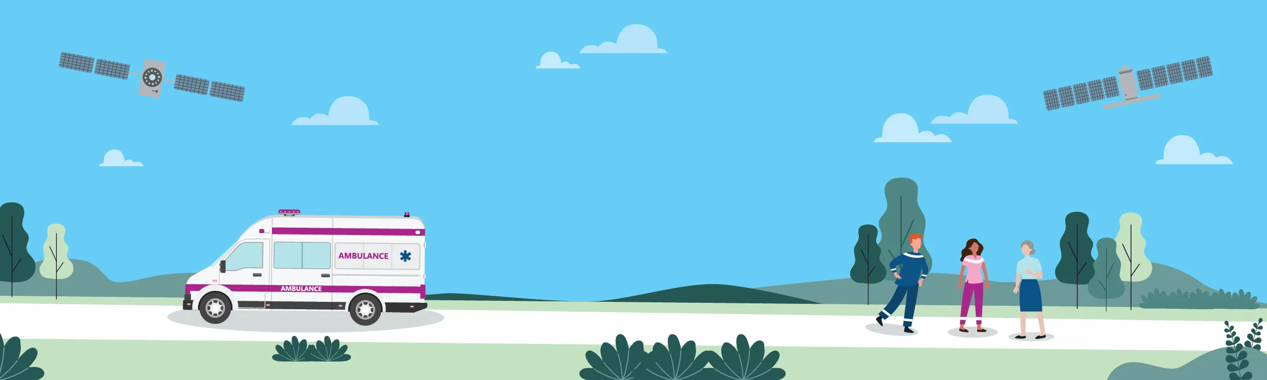
9th CASSINI Hackathon: Space for Healthcare: 16-18 May May
Ready to tackle global challenges and make a real impact?
We’re seeking innovators passionate about improving healthcare and public health. No space experience needed—just choose a challenge, use EU space tech, and compete for cash prizes up to 9,000€ (1st: 5,000€, 2nd: 3,000€, 3rd: 1,000€) plus 6 months of mentoring. Be sure to review the Rules of Contest before applying. Follow the steps below to join:


The hackathon locations
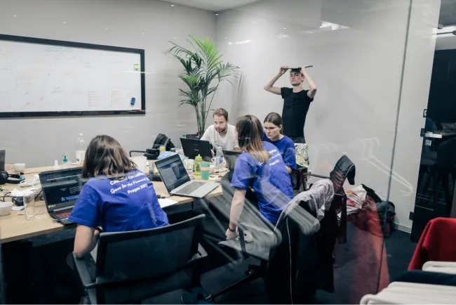
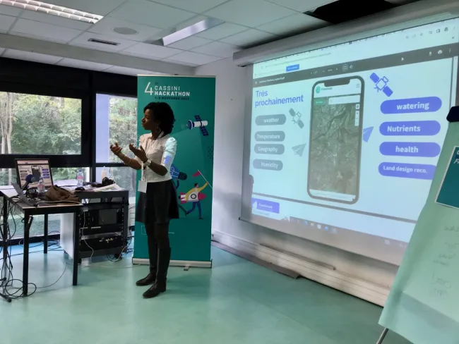
The 9th CASSINI Hackathon took place simultaneously across 10 different locations on
16-18 May 2025. Discover the locations below!
Organised by:
The Austrian Space Forum
Innsbruck, Austria
Organised by:
Aarhus University
Aarhus, Denmark

Organised by:
Ultrahack
Vantaa, Finland
Organised by:
International Space University
Strasbourg, France

Organised by:
Vision Health Pioneers Incubator
Senftenberg, Germany
Organised by:
Envolve Entrepreneurship
Ioannina, Greece

Organised by:
Teseas
Bologna, Italy
Organised by:
Baltic Sandbox
Vilnius, Lithuania
Organised by:
Netaville
Skopje, North Macedonia
Organised by:
Institute of Excellence in Entrepreneurship (IdEA)
Bucharest, Romania

Earth observation
Copernicus
Copernicus is the European Union’s Earth observation programme, looking at our planet and its environment to benefit all European citizens. It offers information services that draw from satellite Earth Observation and in-situ (non-space) data.
Satellite navigation
Galileo
Galileo is Europe’s Global Navigation Satellite System (GNSS), providing improved positioning and timing information with significant positive implications for many European services and users.
EGNOS
The European Geostationary Navigation Overlay Service (EGNOS) is Europe’s regional satellite-based augmentation system (SBAS) that is used to improve the performance of global navigation satellite systems (GNSSs).
Secure connectivity
IRIS2
The IRIS2 Satellite Constellation will offer enhanced communication capacities to governmental users and businesses, while ensuring high-speed internet broadband to cope with connectivity dead zones.
More info...
GOVSATCOM
The European Union Governmental Satellite Communications (GOVSATCOM) programme provides secure and cost-efficient communications capabilities to security and safety critical missions.
More info...
Space situational awareness
EU SST
The SSA initiative will provide Europe and its citizens with complete and accurate information on objects orbiting Earth, on the space environment and on threats coming from space.
More info...
The hackathon locations
The 9th CASSINI Hackathon took place simultaneously across 10 different locations on
16-18 May 2025. Discover the locations below!