Hundreds of hackers compete in each hackathon
to take home the top spots. Meet the best 10 teams
from each edition below.
2026
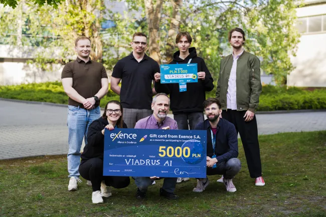

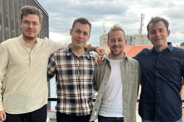
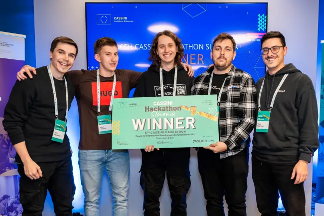
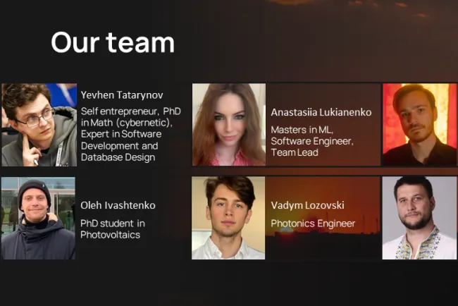
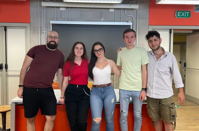
Viadrus AI is building a predictive tool for utilities providers that uses satellite-derived soil and ground subsidence data to detect pipeline leaks weeks before they surface, preventing major water losses.
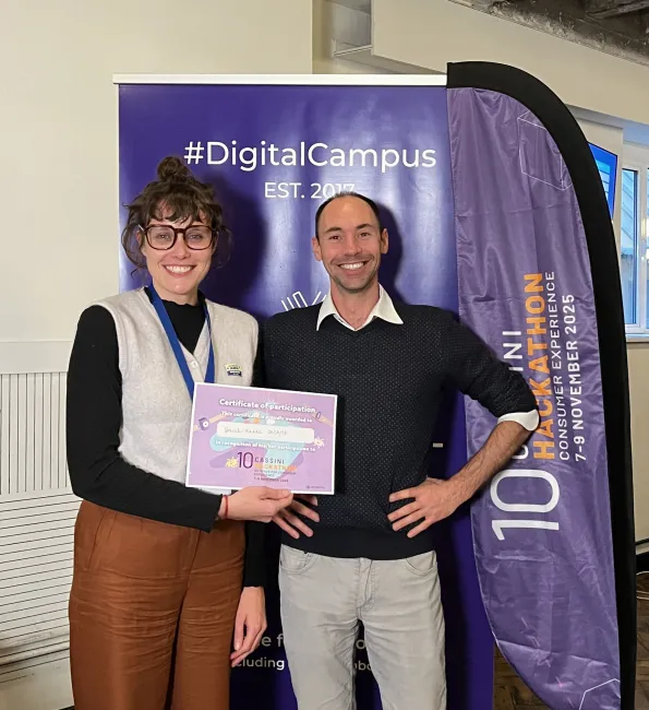
Consumer Experience
2025
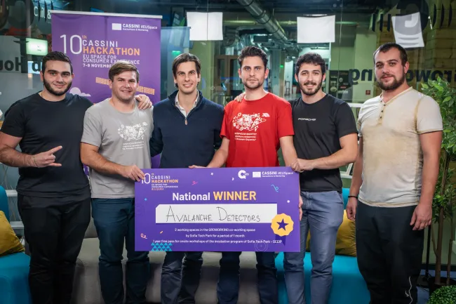

Avalanche Detectors is using Sentinel data to detect snowfall and combining it with real-time weather information to calculate the precise probability of an avalanche occurring at your location.


TrailRadar is a mobile app to spectate ultra-trails events athletes through augmented reality.

GlideBuddy makes paragliding safer by using weather and terrain data to plan flights and, through AR glasses, showing wind, safe landings, no-fly zones, plus sensor-based proximity alerts.
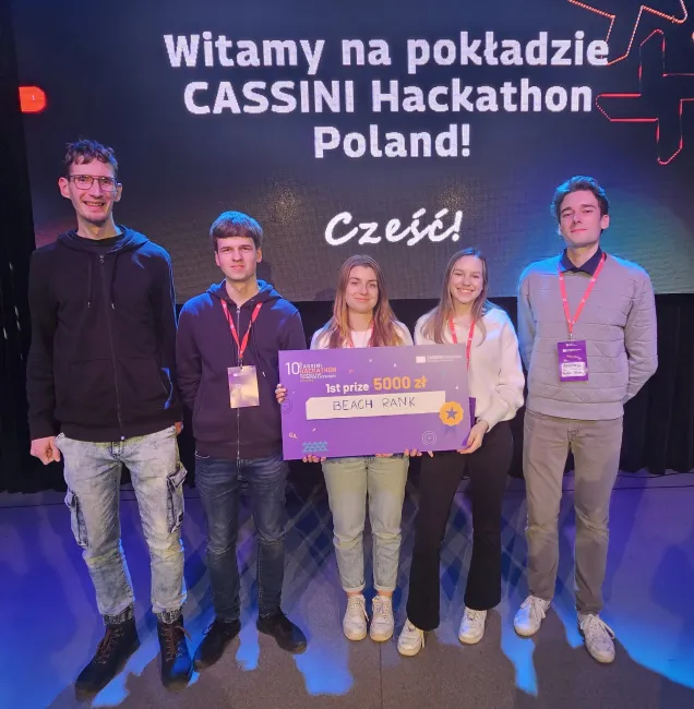
Beach Rank developed a tool that analyzes and compares Polish beaches using satellite and weather data.
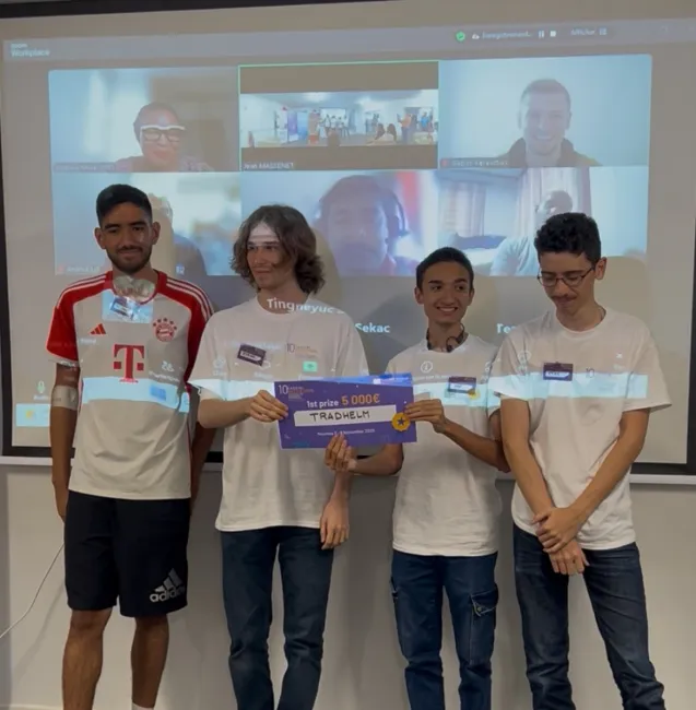

Tradhelm is a real-time strategy game using Copernicus data to simulate Earth, where players trade, ally, and compete for honor while learning resource management and environmental responsibility.

Crowdless is a simple solution to over-tourism. Recommendations for avoiding crowded tourist areas and promoting local communities.

Synapse 404 is a project utilizing AI powered tools to enhance user experience when working with apps using space data.


AstroScout connects athletes and scouts, using Galileo GNSS and EGNOS to provide precise speed and movement data for accurate talent discovery.

In many areas, sports fields and play spaces are poorly mapped, under-maintained, or simply unknown. People want to be more active and connected. Pitch Please maps and identifies new spots for everyone!

Le Yachtman is an eco-friendly response to the growing need for escape. An opportunity for millions of explorers to travel, without the physical and financial constraints.
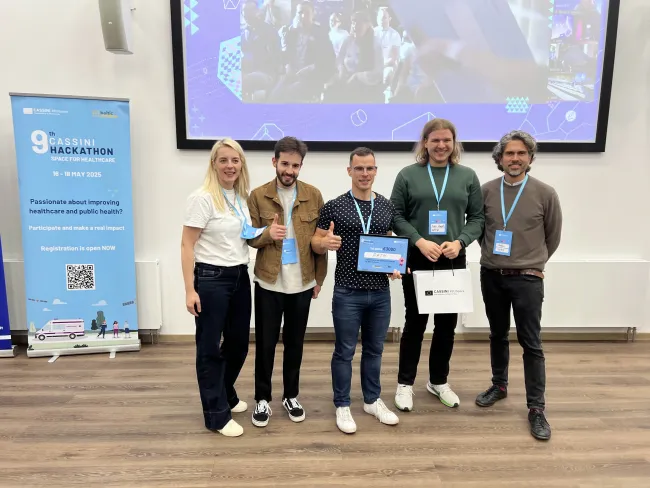
Healthcare
2025
A satellite-connected stethoscope that transmits real-time heart sounds, blood oxygen, and temperature to doctors on land, even in areas without mobile or internet coverage.

Smart Prehospital Emergency Medical Service (EMS) Delivery System based on wearable IoT device data and satellite data analysis.
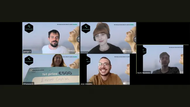
EnviroCopilot is your offline AI health assistant that turns Copernicus satellite data into real-time, personalized alerts for heat, pollution, and UV — even when the internet goes down.

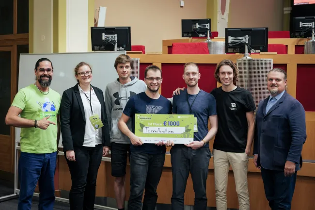
TERRAMED, real-time AI-driven disease risk forecasts and tailored health recommendations at your fingertips.


Disaster response app/dashboard that leverages Copernicus satellite data and AI/ML to facilitate emergency responses and support first responders in the field.
Our drone-powered system delivers emergency aid faster than ever—bringing critical first aid straight to the scene when every second counts.

Detects and monitors health risks from illegal landfills using citizen reports, satellite data, and AI models to predict pollution, verify reports, and alert health and environmental bodies.

ARIA is an intelligent, AI-driven mental health and parenting assistant that supports families in nurturing children's emotional and physical well-being.
Defence and Security
2024

SpaceGuardian automates collision prevention, optimises orbital maneuvers, extends satellite lifespans, and reduces space debris for a safer, more efficient orbital environment.

An AI solution, utilising satellite images for drone geolocalisation in GPS-Denied environments using low compute hardware.

A project focused on detecting and countering GNSS spoofing attacks by identifying interference sources, improving accuracy through advanced algorithms.

Network Unified Management and Analysis for Nodes in Tactical Intervention and Assistance
GODFEATHERS (Galileo-cOpernicus Drone Fleet for Enhanced Autonomous THreat Response and Security) uses CEMS and GNSS data to control drone fleets for autonomous natural/manmade threat response.

With no signal or GNSS interference, staying connected can save lives. TerraLink combines cutting-edge mesh technology and sustainable deployment to keep you connected, wherever life takes you.
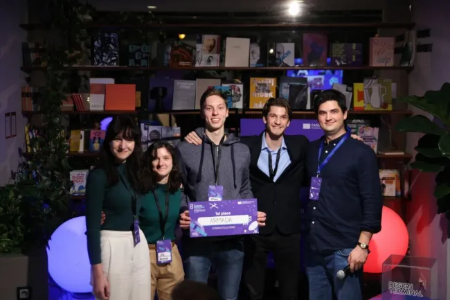

Armada uses autonomous drone fleets for efficient disaster triage planning and critical supply delivery.
OmniFl-AI Solutions enables autonomous navigation in GNSS-denied areas using AI and satellite data. Real-time synchronization provides safe, reliable guidance, empowering exploration beyond GPS limits.

The Firefighting Drone Surveillance System (FDSS), leverages advanced drone technology combined with a proprietary algorithm to enhance wildfire detection and prevention.
A risk assessment algorithm that evaluates the likelihood of collisions based on orbital mechanics, mathematical modeling, and physical assumptions.
Preventing soil pollution by detecting heavy metals through satellite data analysis.

Citizen science platform to combat illegal landfills.
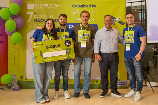
Agroclimatic zoning and optimal Crop Recommendation based on satellite and climate data.
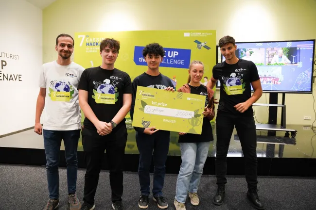

CROPVISOR, uses satellite data from Copernicus to determine the most suitable crop type for your farm or land based on atmospheric conditions.
At Emisat, we specialize in certifying and monitoring emissions produced by industrial activities, ensuring transparency and compliance with environmental regulations.

Using satellite image data for fish disease risk estimation and early detection
Mitigate overfishing to prevent species extinction and ecosystem collapse

We aim to bring fairness in the carbon emission field by enhancing fraud detection and optimizing the carbon offset marketplace.
Copernicus-centered calibration data collection marketplace: companies can request data points that are then retreived on site by engaged european citizens motivated by a gammificated reward system.
Development &
Humanitarian Aid
2023
Biosecurity planning for aquaculture sites that assists with marine spatial planning and sustainable aquaculture practices.

Calculating the likelihood of food storage problems on a global scale, including threats such as flooding, mould, and rodent infestations, among others.
Providing early warnings of crop infestation through a cost-effective, scalable and environmentally friendly solution.
Addressing sustainable water resource management to ensure clean and safe water for various applications, e.g. agriculture.
Monitoring forced migratory flows to improve resource allocation and management within refugee camps and protect migrant health.
A web app product producing personalised hydrological reports to safeguard clean water sources and mitigate flood risks.

Identifying areas of impending danger based on the detection of indicators such as bombing sites and tank movement on satellite images.
A platform to compare the costs and benefits of different renewable energy production technologies, such as solar and wind.
A complete solution for monitoring vineyards, providing information about vineyard health, and allowing growers to isolate and mend problematic plants.
Predicting solar irradiance to optimise the use of solar energy systems and plan new infrastructure developments.
Defence & Security
2023

A platform to evaluate evacuation plans and scenarios, offering also the ability to localize high-risk areas to take mitigation measurements in advance.
A solution which utilises satellite data and simulation algorithms to give first responders in wildfires real-time information to protect lives and infrastructure.
Combining AI with EO imagery to determine the possible UXO threat post-conflict for the protection of forces and civilians.
A LoRa-based satellite solution for low-power long-range data transmission, offering an efficient solution for IoT applications across several industries.
A solution providing software to classify terrain availability on land borders, contributing to better prevention of illegal border crossings.
A decision-support tool which uses satellite data and deep learning to assist military and civil field commanders in terrestrial and maritime movements.
A rapid military response system. Using LiDAR laser scanning data, satellite data, and sensors embedded in soldiers' helmets to know their location, conditions, and health state.
A solution for in-terrain operations which uses AI, and satellite data to provide predictions regarding weather and overall terrain conditions.
A solution protecting forests against illegal or excessive deforestation. Providing data on affected areas, and alerting authorities for newly detected areas.


A space-ready AI platform which can be integrated into systems, providing them with ultra-low power AI capabilities and secure satellite connectivity.
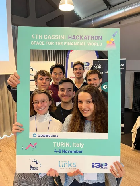
Financial World
2022
BugBit is a risk analysis platform for insurance companies. Providing land owners predictions, early recognition, & alerting of bark beetle outbreaks.
A solution that will identify & help in the removal of asbestos rooftops using satellite technology, while identifying the areas most suitable for solar panels.

A solution that predicts crop production using satellite data; providing independent real-time future yield predictions to stakeholders in an easy-to-consume way.
A tool to find, qualify, quantify, and prioritise green investing opportunities. Power Map identifies land which has the potential for solar farm use.
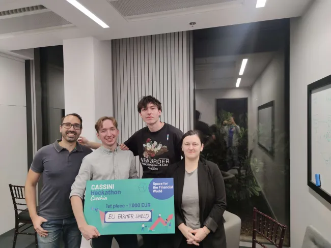
A platform using satellite data to connect farmers, insurance companies & governments to help assess the risk of farming & provide suitable financial aid.
A tool that uses space data and machine learning to predict the movement of invasive insects, helping forest owners and insurers to take action in time.
A solar panel community grid between residents and businesses. Energy regulators and producers can be informed of possible areas to install solar panels.
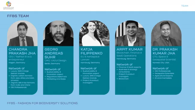
A RegTech for the fashion industry which uses, space tech, AI, and blockchain to ensure all EU regulations are followed properly in labelling any raw material or product as ORGANIC.
Helping agricultural enterprises access financial aid by using satellite data to categorise their analytics at a lower interest rate and in an easier way.
Producing reports of emissions using CAMS measurements for macro-farms. They will contain emissions data & proposals to reduce pollution.
Europe 2022
An application that uses cutting edge AI to identify uncharted hiking trails, providing information about climate and user location.
An API-based service that provides quality measurements and reports about water and air quality for any location in the world.
A quality index (Q-SEA) that describes the water condition of the Italian seaside and offers the opportunity to make a comparison between areas.

An all-in-one bike travelling app that allows you to plan your biking journey through their virtual travel feature.
A website and application (MVP) connecting owners of clean vehicles with users who want to rent them anywhere, anytime.
A project in cooperation with the 'Tripful' app that can plan a hiking trail along areas with plastic waste, encouraging waste collection and disposal.
A community platform where users and companies can promote sustainable activities and projects in their local area or vacation destination.

An app which identifies potential campervan sites along a given route, including less visited areas of the Norwegian wilderness.
An app which offers a dynamic route planner that can be ajusted based on user's preferences, current forecast, mood, air pollution and overcrowding.

Arctic Soil Erosion uses satellite imagery to create a searchable map that identifies locations with a high risk of erosion.

PolarBearings is an AI-based polar navigation platform that provides optimal routing for terrestrial vehicles in the Arctic.
IceBlink provides navigation support including ice detection for vessels in the polar seas using remote sensing.
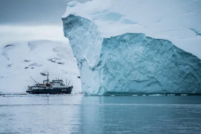
WeeSea is an Arctic monitoring system that helps vessels make the right decisions in crucial moments.
C-Route provides an optimised route navigation solution for ships in the Arctic region.
PhytoForSeea provides a platform to monitor and forecast marine flora and fauna.
STOL is a solution to support maritime professions to harness the power of Earth observation data.
Horus provides an integrated remote monitoring platform that checks the health and the environment of field equipment.
Energarctic provides a solution that improves the understanding of how the seas and the Arctic Ocean can generate electricity.
Software that predicts changes in migration corridors in real-time, suggesting alternative transportation paths without interfering with the autochthonous fauna.
Sportcasts develops APIs that deliver tailor-made, easily digestible insights from satellite data to businesses and projects.

TreeCount&Care helps to identify the condition of trees, and to provide information on any care necessary.
Sandless software analyses the past satellite images of other cities around the world to help you decide how to build your city of tomorrow!
CityLite is a smart cities platform for professionals in the construction industry to help plan, analyse & simulate the building of sustainable & smart cities.
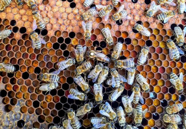
Project HIVE monitors beehive ecosystems through satellite data. It uses the data to decide which locations are most suitable for bees to live in.
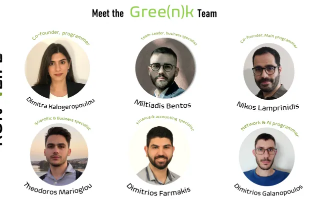
Gree(n)k Team's app can optimise routes collecting geospatial data and predicting air quality to make the most use of green spaces.

Have Sea Will Swim takes satellite images of coastlines and uses machine learning to detect areas suitable for swimming and to monitor water quality.
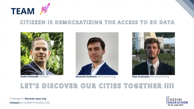
Citizeen is an app using satellite navigation and predictive algorithms to notify the user about the state of the green spaces in the city.
Bee Cool Let Us Pass the Road creates a map of green corridores and fragmented areas for safe passage to animals across high traffic roads.
Live your Green offers an easily accessible tool that rates property by environmental quality.